If you want to get a feel for the separateness of Chappaquiddick and the reverse-angle perspective on everything that it offers, you need only board the ferry, cross the channel, and walk the public beach at Chappy Point. Along this shoreline you will see, uninterruptedly, the whole expanse of Edgartown Harbor, from anchorage to lighthouse to outer harbor and beyond.
For those who wish to ride or drive farther, Chappaquiddick is a rural island with only one main road, paved for about four miles from the ferry landing at the Point to the southeastern end of the island, where it turns dirt for the last mile out to the ocean-facing elbow of Wasque Point. There is just one retail business, the one-room Chappy Store, located two miles from the ferry on this main road.
More than a thousand acres on Chappy (out of about thirty-eight hundred acres total), is in conservation, much of it oceanfront, open to the public, and worth exploring year-round. On Chappaquiddick you can hike, fish, bird, sunbathe, ride, or picnic in a setting like no other, and often all on your own.
Three large conservation areas – Wasque (pronounced “way-skwee”), Mytoi, and the Cape Poge Wildlife Refuge – are owned and managed by The Trustees of Reservations, a statewide conservation group. Still others are owned and overseen by the Martha’s Vineyard Land Bank Commission. Each is worth exploring. (Remember that Chappy is hilly countryside surround by ocean waters, so it tends to be cooler and breezier than the Vineyard as a whole. Dress accordingly!)
CAPE POGE WILDLIFE REFUGE
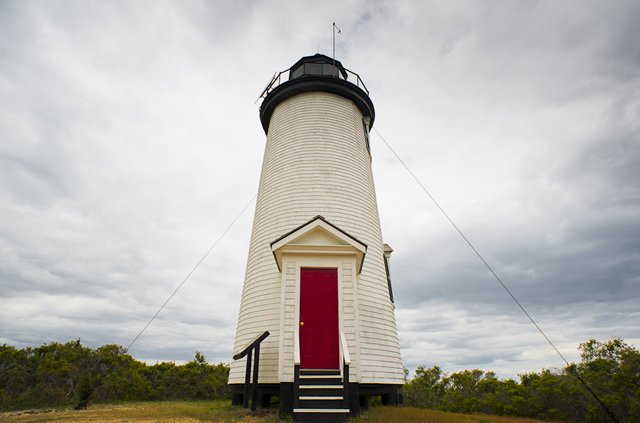
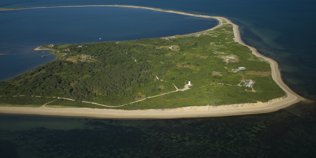
Among the Chappy properties owned by the Trustees, Cape Poge Wildlife Refuge is the largest and most varied, made up of more than five hundred acres facing, along the way, ocean, sound, and harbor. A beach stretching seven miles from the “elbow” of Wasque Point to the “wrist” of Cape Poge and point at the entrance to Cape Poge Pond defines the long eastern shoreline of Chappaquiddick. The one manmade landmark here is the Cape Poge lighthouse, originally built in 1801, only the second on the Vineyard. To learn more about the trails, rookeries, ponds, and beaches of the Cape Poge refuge, visit:
http://www.thetrustees.org/places-to-visit/cape-cod-islands/cape-pogue.html

MYTOI
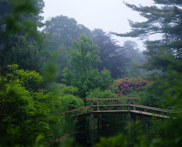
Among the unexpected and contemplative pleasures on an island laced with idiosyncrasies is Mytoi, a fourteen-acre garden of native and exotic plants, laid out in a Japanese style and surrounding a verdant, inland freshwater pond and island. The late Hugh Jones, a Chappy resident, created this garden and spent so much time there that he invented a Japanese-sounding word – Mytoi – to define it as his “toy.” To learn more about Mytoi and the walking trail to nearby Poucha Pond, visit:
http://www.thetrustees.org/places-to-visit/cape-cod-islands/mytoi.html

WASQUE
Today Wasque (“way-skwee”), at the southeastern corner of Chappaquiddick, is the scene of one of the most dramatic and continuing losses of land to erosion anywhere in New England.
The opening through South Beach, breached in 2007 and located these days roughly half a mile to the west of Wasque, not only separates Chappaquiddick from the rest of the Vineyard, but also interrupts the longshore drift of sand from the Vineyard to Chappy, starving its beaches and allowing ocean waves and tides to claw away at the unprotectred earthen bluffs along the south shore.
At Wasque, acres of earth and stands of scrubby trees sometimes tumble into the Atlantic every week, particularly in winter and spring when storms and waves can be most fierce. Lots where cars parked just one year ago are now gone. So is Swan Pond, which once lay tranquil beneath the bluffs. So is the walkway down to the beach, as well as many of the hiking trails above it. To find out where you may park and walk today, follow the directions of those at the gateway to the Wasque reservation:
http://www.thetrustees.org/places-to-visit/cape-cod-islands/wasque-reservation.html

LAND BANK MAP
The properties owned by the Martha’s Vineyard Land Bank Commission lie in two different sectors of Chappaquiddick and show off how geologically and biologically diverse the little island really is. A series of preserves run north and south over the rolling midsection of the island, collectively named for the three ponds they encompass: Brine’s, Buttonbush, and Cape Poge. The land rises and falls gently over the heart of the island, and trails lead from wind-blasted second-growth forest and fields to sudden, spreading views of Cape Poge Pond, East Beach, and Nantucket Sound beyond.
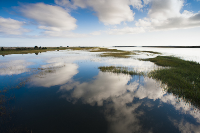
The other land bank property is Poucha (“poh-cha”) Pond Reservation, whose trail rambles from the hills down to saltmarsh, the shallow Poucha Pond, to views of turbulent Muskeget Channel – and on a clear day beyond, to the westernmost islands of Nantucket. This is the sort of path over which you can ride either a bike or a horse, and it offers an experience in the natural world that few ever forget.
Click on this map to see and learn details about the various properties owned by the Martha’s Vineyard Land Bank on Chappaquiddick:
http://www.mvlandbank.net/maparea7.html
www.alisonshaw.com


